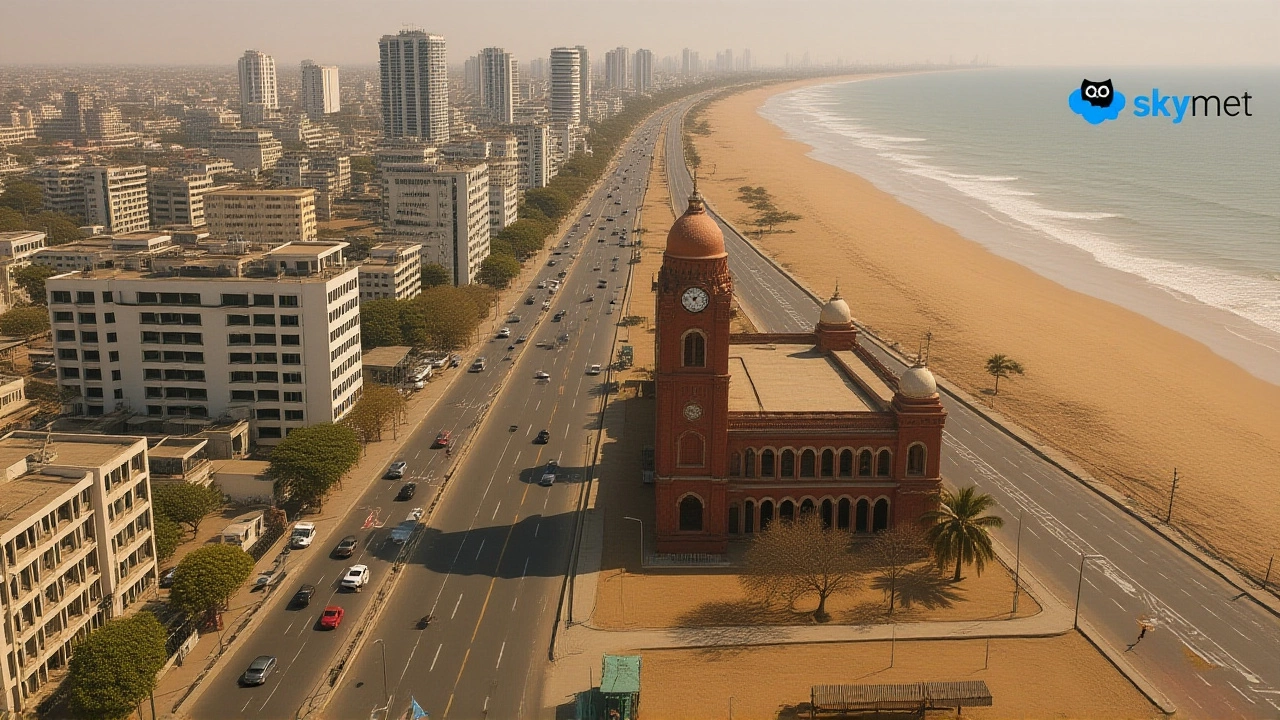
When Chennai, Tamil Nadu’s bustling coastal capital, logged a mere 9.1 mm of rain between 1 August and 13 August 2023, the city’s residents felt the heat of a serious dry spell settle in.
The numbers come from Skymet Weather, which notes that the monthly average for August is about 132.8 mm. In plain English, the city received just 7 % of what it normally expects. The shortfall isn’t just a statistical curiosity; it ripples through water supply, agriculture, and daily life.
Current Rainfall Deficit and Regional Variations
Since 1 June 2023, Chennai has accumulated roughly 22 cm of rain, leaving it 8 % below the long‑term norm. The deficit isn’t uniform across the metropolis. The Meenambakkam observatory, serving the southern suburbs, reported only 12 cm – a shortfall of 15 cm. By contrast, the Nungambakkam observatory in the north recorded 27 cm, slightly above average by 3 cm.
State‑wide, the picture looks brighter. Tamil Nadu as a whole logged 18 cm of rainfall for the same period, roughly 15 % above normal, thanks largely to heavier showers in interior districts. Still, the coastal strip that includes Chennai remains parched, while districts like Kanyakumari are running at –44 % of their August norm.
Low‑Pressure System Over the Bay and Short‑Term Outlook
A low‑pressure area has formed over the west‑central Bay of Bengal, straddling the north‑eastern coast of Andhra Pradesh and the southern edge of Odisha. Meteorologists expect the system to drift westward and intensify over the next 48‑72 hours.
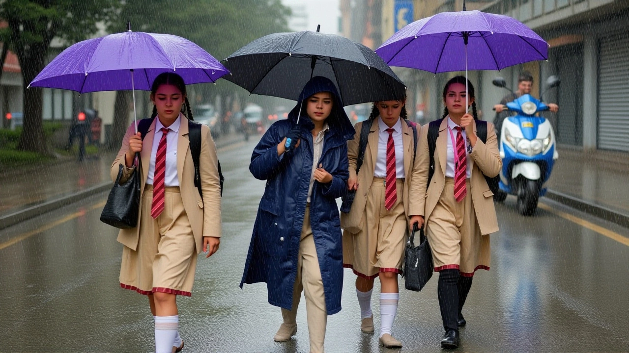
“But some clouds on the periphery of the system may move over south Andhra Pradesh and north Tamil Nadu, bringing brief showers to the city and neighbouring areas,” said Mahesh Palawat, chief meteorologist at Skymet Weather. “This may last for two to three days.” He added that after the brief respite, “a dry spell may prevail and temperatures may marginally rise as back‑to‑back systems over northwest Bay of Bengal will draw away moisture.”
Forecast models for the week ahead show patchy, light rain possible in pockets of Chennai for the next two to three days, followed by clear skies. Maximum temperatures are projected between 32 °C and 34 °C, while overnight lows should hover around 26 °C‑27 °C.
Historical Context: How August Usually Shapes the Monsoon
Chennai’s climate hinges on the Northeast Monsoon, which peaks in October and November, delivering average monthly rains of 300.3 mm and 373.6 mm respectively. August is traditionally a transition month, with moderate rains that help replenish groundwater before the main monsoon surge.
When the city falls short of its August quota, reservoirs can start the season with reduced levels, putting pressure on municipal water tanks and the Chennai Metro Water Supply and Sewerage Board. In extreme cases, a weak August can foreshadow water scarcity issues during the hotter months of December and January.
According to the India Meteorological Department Special Bulletin No. 1 (dated 2 October 2025), heavy rains are expected in many parts of the sub‑continent, but Chennai is not in the primary impact zone. Earlier bulletins from 26 September 2025 highlighted isolated extremely heavy rainfall over Odisha and Telangana, but again, not over Chennai.
Implications for Residents, Businesses, and Authorities
- Water supply: With reservoirs running below optimal levels, the city may need to impose water rationing earlier than usual.
- Agriculture: Coastal farms that depend on timely August showers could face reduced yields, especially for water‑intensive crops like rice and banana.
- Public health: Dry conditions elevate dust levels, aggravating respiratory ailments and increasing the risk of heat‑related illnesses.
- Construction: Ongoing projects that require concrete pouring may experience delays if humidity remains low.
Local authorities have issued advisories urging citizens to conserve water and to stay updated with weather alerts. The Chennai Metropolitan Development Authority (CMDA) is reportedly coordinating with Economic Times journalists to monitor the evolving situation.
What Comes Next? Monitoring the Next Monsoon Wave
Skymet Weather’s longer‑term models suggest that the current low‑pressure system could move inland, delivering rain to central India while sparing southern states. Meanwhile, climatologists warn that the 2025 Northeast Monsoon season could see two to three cyclonic disturbances, with at least one possibly making landfall in Tamil Nadu later in the year.
For now, Chennai residents should brace for a brief, fickle shower window and then settle back into another stretch of dryness. The city’s water management team will be watching reservoir levels closely, and any shift in the monsoon pattern could trigger swift policy responses.
Frequently Asked Questions
Why is Chennai’s August rainfall so low this year?
The primary cause is a stalled western wind pattern that kept moisture away from the Tamil Nadu coast. While the Bay of Bengal low‑pressure area is nearby, its core circulation is still too far north to deliver sustained rain to Chennai. This contrasts with the broader state, which benefited from inland showers.
How will the shortfall affect water availability in the city?
Reservoir levels are already 8 % below normal. With limited August rain, authorities may need to enforce water‑saving measures earlier than usual and could increase reliance on groundwater, stressing aquifers.
When can Chennai expect more consistent rain?
The next significant rainfall is likely in October‑November when the Northeast Monsoon peaks, delivering 300 mm + per month on average. Short‑term forecasts show only scattered showers over the next three days.
What impact could a potential cyclone have on Chennai’s water situation?
If one of the projected 2‑3 cyclones in the 2025 Northeast Monsoon makes landfall in Tamil Nadu, Chennai could receive a sudden influx of rain, temporarily relieving the deficit. However, such events also bring flooding risks that require robust emergency planning.
Are there any measures residents can take right now?
Conserving water at home, using rain barrels where possible, and staying informed through local weather bulletins are practical steps. Vulnerable groups should also monitor heat‑related health advisories.